John George Bartholomew: Antarctica
He is credited with being the first to put the name 'Antarctica' on a map [1]
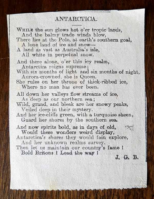
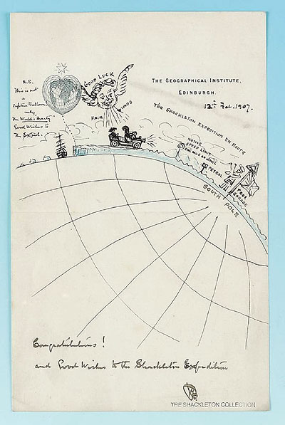
John George Bartholomew had always held a long fascination for the southern continent. Besides publishing a poem of how he imagined it to be, he was one of the associates of Ernest Shackleton to wish him well on his bid to reach the South Pole. Maps and atlases at the time variously called this land mass names such as 'Terra Incognita Australis', or simply 'Unknown Land'. These labels did not sit well with John George.
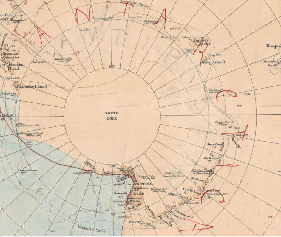
Research completed at the National Library of Scotland established the following [1]:
'Antarctic' had been used to describe the unknown frozen land mass in the south since the first century AD. However Bartholomew was the first person to publish a map of the region using the name 'Antarctica' for the continent.
The Bartholomew firm worked with oceanographer Sir John Murray to prepare maps of the southern hemisphere for the Challenger Commission reports in the 1880s.
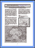
The South Polar chart above was annotated by John George Bartholomew are he prepared a map to accompany a magazine article by John Murray in 1886. The chart shows the name 'Antarctica'. Intiguing too on this image was that he had toyed with the name 'Antipodea' too, but it was 'Antarctica' that prevailed in red ink.
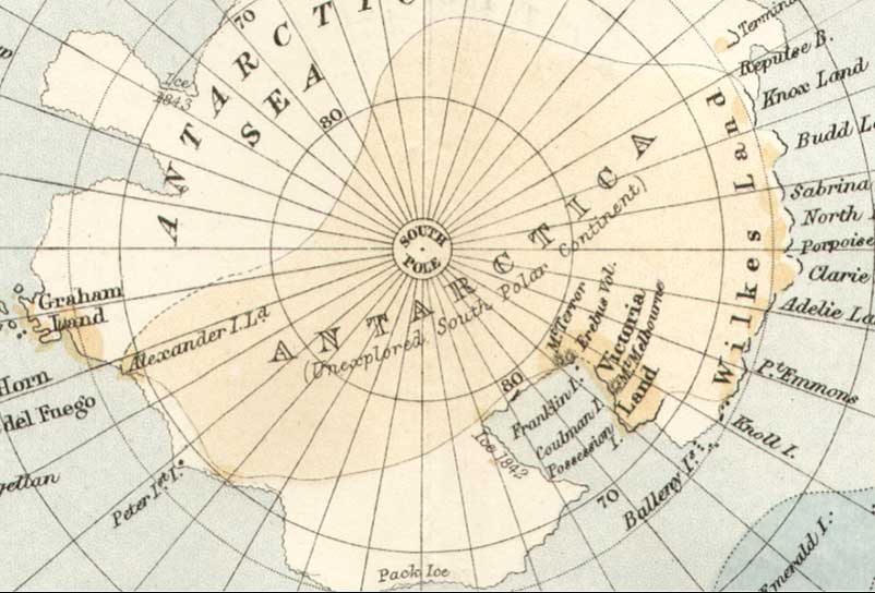
Handy Atlas of 1887
The NLS research paper continues:
From then on the Bartholomew firm began to use 'Antarctica' in their own publications, in many maps prepared for Royal Scottish Geographical Society papers and for other publishers. Alternative names were proposed as exploration and discovery continued. But by the end of the 1920s 'Antarctica' had been firmly established.
View or download CAIRT 3-page PDF:
John George Bartholomew and the naming of Antarctica' Click here
CAIRT July 2008, Susan Woodburn, Bartholomew Archive Curator, National Library of Scotland.
[1] 'John George Bartholomew and the naming of Antarctica' CAIRT July 2008, Susan Woodburn, Bartholomew Archive Curator, National Library of Scotland.


